What Changed in the BCER Site Remediation and Restoration Manual?
The BC Energy Regulator published version 1.8 of its manual on June 24, 2026, renamed it the Site Remediation and Restoration Manual, and announced it the next day in TU 2026-14, effective immediately. Any assessment where fieldwork was completed after June 30, 2026 is expected to follow it in full.
The new name undersells it. Version 1.8 retires the site profile and the two-part Certificate of Restoration application, adds guidance on spills, groundwater, dormant pipelines and drilling waste, and asks for a Site Summary Report with every assessment. It also arrives three months after a change to the Dormancy and Shutdown Regulation that moved a milestone from the regulator’s desk to yours: a dormant site now counts as restored when the permit holder files a qualified professional’s report.
At a Glance
- Version 1.8 replaces version 1.7 from November 2023. Fieldwork completed after June 30, 2026 is expected to follow it in full
- Restoration is now declared by the permit holder. Since the March 10, 2026 amendment to the DSR, a dormant site counts as restored when you file a qualified professional's report, through the new Declaration for the Completion of Reclamation
- A spill cleaned up during the incident is no longer closed for good. It stays an area of potential environmental concern until it meets future land use standards, and its file is reviewed again at restoration
- Groundwater investigation is the default at every area of potential environmental concern unless one of seven documented exemptions applies
- Every Site Assessment Form now carries a Site Summary Report: one document holding the site's drilling, waste, spill, infrastructure, investigation and remediation history
What Is the BCER Site Remediation and Restoration Manual?
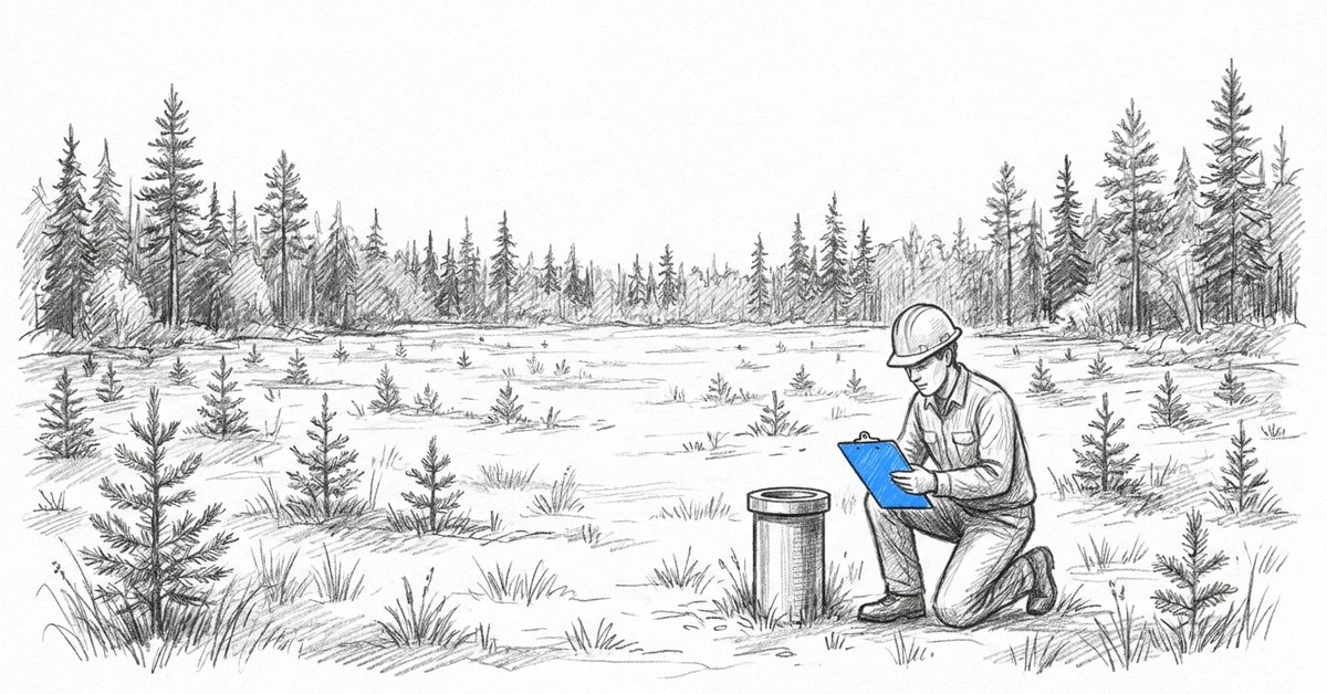
The Site Remediation and Restoration Manual is the BCER’s reference for how permit holders screen, assess, remediate and restore well, facility and pipeline sites under the Energy Resource Activities Act, the Dormancy and Shutdown Regulation (DSR), the Environmental Management Act and the Contaminated Sites Regulation, and what to submit for a Certificate of Restoration.
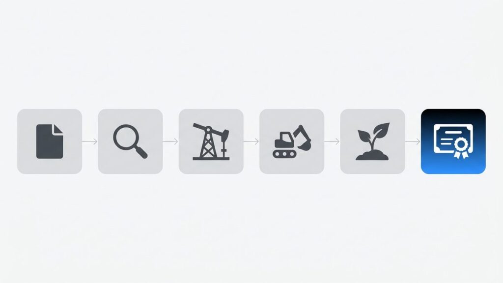
It follows the order the work happens in. A site disclosure statement goes to the Ministry of Environment and Parks within six months of decommissioning, with a copy to the BCER. A qualified professional screens the site for areas of potential environmental concern (APECs), samples them in a Stage 2 preliminary site investigation, and runs a detailed site investigation if contamination turns up. Remediation comes next, then surface restoration, then the Certificate of Restoration under section 41 of the Act.
Since January 1, 2024, the same steps apply to dormant facilities and pipelines, not only wells. The manual is guidance and says so; the regulations still govern. Submissions made before June 30, 2026 continue to be evaluated under the old version “to ensure regulatory fairness.”
What Changed in Version 1.8 of the Manual?
Version 1.8 rebuilds the manual around the DSR’s closure steps and the BCER’s online forms. It drops the site profile and the two-part Certificate of Restoration application, makes electromagnetic surveys mandatory in more cases, adds a Site Summary Report, and adds new appendices on dormant pipelines, groundwater investigation and drilling waste disposal areas.
Topic | Version 1.7 (November 2023) | Version 1.8 (June 2026) |
|---|---|---|
Site screening | Site profile system | Site disclosure statement plus a Stage 1 preliminary site investigation |
Assessment submission | Certificate of Restoration Part 1 application and site assessment checklist | Site Assessment Form with a Site Summary Report attached |
Restoration submission | Certificate of Restoration Part 2 application | Declaration for the Completion of Reclamation, then the Restoration Assessment Form |
Electromagnetic survey | “Should” be done under six triggers | “Must” be done under four triggers, covering the full site, on a georeferenced map |
Spills | A cleanup that met section 37 of the Act needed no further work | A spill stays an APEC until it meets future land use standards; reporting runs through CM-IS |
Groundwater | A general requirement, a pointer to Technical Guidance 8, and exemptions left open | Appendix F: required at every APEC whatever the groundwater use, unless one of seven listed exemptions applies |
Dormant pipelines | No assessment appendix | Appendix C: assessment segment by segment, revegetation standard set by construction year |
Drilling waste | A separate guidance document | Appendix G: Checklists A, B and C, and intrusive work for every disposal before 1997 |
Risk-based closure | No stated limit on a source, pathway and receptor approach | Generally inadequate where any residual contaminant exceeds twice the numerical standard |
Background soil | Ministry Protocol 4 only | Three accepted shortcuts, including arsenic and selenium below twice the standard in northeast B.C. |
Revegetation | Assess at the end of an establishment period of unstated length | Assess after at least two full growing seasons, three for planted seedlings |
Two smaller additions matter on older sites. Firefighting areas now appear on the list of common APECs, with PFAS as the contaminant. And a recorded pipeline spill that was never investigated now gets a central borehole plus at least three step-out boreholes, 5 metres away.
Which changes add work?
Asked which of these change the work for BC clients and which are mostly paperwork, the Fieldshare team’s answer was all of them, with one possible exception: drilling waste disposal, where the new appendix mostly changes how the records are checked. Clients describe the update the same way: more work, and field forms and reports that have had to change with it.
How Does a Site Count as Restored Under the Amended DSR?
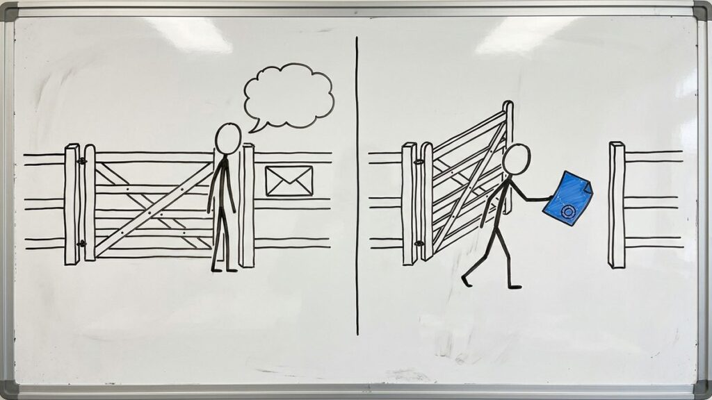
Since March 10, 2026, a dormant site counts as restored under section 9 of the Dormancy and Shutdown Regulation once it is remediated and the permit holder gives the BCER a qualified professional’s report confirming its restoration obligations are met. Before the amendment, the site waited for the BCER’s written notice. The new declaration form carries that report.
The Declaration for the Completion of Reclamation
The change sits in section 9 of the Dormancy and Shutdown Regulation, amended by B.C. Reg. 27/2026 and listed on the BCER’s Regulatory Update page. The manual describes the declaration as a new form that lets permit holders and their service providers submit “in real time when reclamation has been completed to meet their restoration stage gate.” It went live in the BCER’s eSubmission portal with TU 2026-19 on September 15, 2026, which calls it the Reclamation Declaration Form and adds dormancy submissions for facilities and pipelines, on their own or with their wells.
At Fieldshare’s BC clients, the operator files the declaration, and it rests on the consultants’ findings and reports. So that is what the operator needs on file: the reports and information on the restoration actions taken, plus, on private or Agricultural Land Reserve land, any part of the site left unrestored at the landowner’s request.
The second report, then the certificate
Section 9(3) asks for a second qualified professional’s report confirming the restoration has been effective. That is the Restoration Assessment Form, which replaces Part 2 of the old Certificate of Restoration application. The vegetation assessments behind it wait at least two full growing seasons, or three where seedlings were planted. Those windows differ site by site, which is where tracking restoration work across a portfolio gets hard.
On Crown land, the manual’s framework chapter says surface tenure payments continue until the BCER accepts the section 9(3) submission, and that acceptance is what the BCER uses to reduce your deemed liability. The Certificate of Restoration application, with its fee, comes after.
The deadlines the declaration counts toward
Site type under the DSR | Restoration deadline |
|---|---|
Type A (dormant as of 2018, or well permit ended by 2018) | At least 2 sites or 70%, whichever is greater, by December 31, 2030; all by December 31, 2036 |
Type B (dormant from 2019 to 2023) | December 31 of the 13th year after the site’s reference year |
Type C (dormant from 2024, including facilities and pipelines) | December 31 of the 10th year after the site’s reference year |
Priority site | December 31 of the 5th year after it is named a priority site, if earlier than its type deadline |
Type A sites also face a decommissioning gate this year: at least 2 sites or 70%, whichever is greater, decommissioned by December 31, 2026.
How Are Dormant Pipelines Assessed Under Version 1.8?
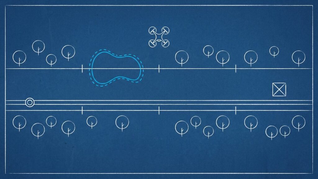
Appendix C assesses each dormant pipeline segment like a wellsite: a qualified professional screens it for APECs, investigates where needed, and a Site Assessment Form goes in for every segment. A qualified reclamation specialist registered in B.C. then signs off the restoration, with the revegetation standard set by when the pipeline was built.
Screening draws on the permit holder’s and the BCER’s pipeline files, spill reports from the BCER and the Ministry, aerial photos, and a records review of any horizontal directional drilling sumps. The whole line has to be looked at, on foot, by vehicle, or by aerial or drone coverage, to find risers, cathodic protection beds, vents and bare ground. Bare areas with nothing growing can be APECs in their own right.
For revegetation, pipelines built and reclaimed before 2020 are held to the standard of the day. Those built and restored from 2020 to 2023 must meet the Ecologically Suitable Species Guideline or be on track to, and pipelines built from 2024 must meet it fully. Any part of a dormant right of way that was never restored, whatever its age, comes up to the current standard.
When the declaration is enough
If every part of the pipeline was fully restored and nothing was disturbed again during decommissioning or assessment, the permit holder closes the DSR stage gate with the declaration after the Site Assessment Form, with no Restoration Assessment Form needed. Pipelines entirely inside the Agricultural Land Reserve follow Schedule B reporting instead, within two years of leave to open.
What Does the Manual Now Say About Spills?
Section 4.10 rewrites the spill guidance. Reportable spills go to Emergency Management and Climate Readiness under the Spill Reporting Regulation and into the BCER’s Compliance Management Information System (CM-IS) as incidents. Written updates are due within 30 days of discovery and every 30 days after, and the end of spill report within 30 days of the spill being eliminated.
CM-IS replaced the old KERMIT system on September 12, 2024. A spill reported under the Spill Reporting Regulation counts as notice that independent remediation has started; the completion notice still goes to the Ministry, with a copy attached to the end of spill report. If the spill nears or crosses the tenure boundary, a notification of likely or actual migration goes to the neighbours and the Ministry. If it reaches Crown land off site, you need an Emergency Works Authorization.
The spill file comes back at closure
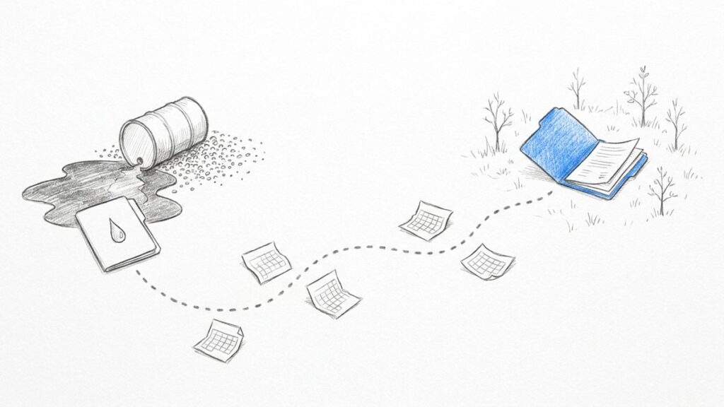
This is the change with the longest tail. Version 1.7 said a cleanup that met section 37 of the Act needed no further investigation or remediation. Version 1.8 treats a spill as an APEC until it is remediated to future land use standards, says spill incident files must be reviewed during restoration, and encourages permit holders to clean up to those standards during the incident.
Older spills follow the same logic. Without a qualified professional’s records showing a spill was remediated to the applicable standards, every spill area is an APEC that needs assessment. A spill closed this year may be read again years from now by a different consultant, so the incident report, the remediation report and the confirmation sampling have to stay with the site.
When Is a Groundwater Investigation Required Now?
Appendix F makes groundwater investigation the default under sections 7 and 8 of the DSR, whatever the groundwater use. Where screening finds an APEC, groundwater is a relevant medium, and if it is not sampled in the Stage 2 preliminary site investigation, the reports must give a detailed rationale for the exemption. Seven exemptions are listed.
The seven exemptions
With adequate evidence the BCER will likely accept them, but only where numerical standards, including background, are used, and not where there is another reason to suspect an impact, such as shallow groundwater or contamination reaching bedrock:
- Not contaminated. The assessment found no soil contamination.
- Spillage. A qualified professional’s records show the spill was managed promptly to the applicable standards.
- Minimal contamination. Soil contamination under twice the standard, held in relatively impermeable ground.
- Contamination period. Contamination less than five years old, in less permeable ground.
- Remediated volume. No more than 30 cubic metres of contaminated soil remediated in total, on and off site.
- Contaminant characteristics. Substances such as heavy extractable petroleum hydrocarbons that barely move in water.
- Multiple lines of evidence. Delineated soil impact above the water table, the source removed, and separation confirmed by field data.
What the BCER expects from monitoring wells
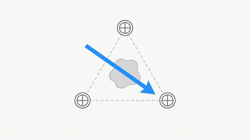
Wells go within or down gradient of each APEC that could affect groundwater. In a Stage 2 investigation, a well should not reach more than a metre below the contamination zone, screens are capped at 1.8 metres including the filter pack, and flow direction comes from at least three wells set in a triangle. A dry well does not prove groundwater was untouched; it needs a falling head test.
How long monitoring runs
A detailed site investigation expects spring and fall sampling over at least a year for a simple site. Showing a plume is stable or shrinking takes at least two years of monitoring, with trend statistics for complex sites. Where light non-aqueous phase liquid turns up, monitoring runs for at least 12 months, at least every two months. Each of those events is a field record that somebody has to schedule, capture and file against the site.
How Does Appendix G Change Drilling Waste Disposal Area Assessments?
Appendix G replaces the BCER’s earlier drilling waste guidance for every well site where a Stage 2 preliminary site investigation or detailed site investigation is completed on or after June 30, 2026. It removes Checklist 1, keeps Checklists A, B and C by drilling date, and requires intrusive investigation of every disposal area from a well drilled before 1997.
Well drilled | Records available | What applies |
|---|---|---|
Before January 1, 1997 | Any | No checklist. The disposal area is an APEC and needs intrusive investigation |
January 1, 1997 to August 25, 2006 | Notification of Drilling Waste Disposal form, or equivalent | Checklist A |
January 1, 1997 to August 25, 2006 | No notification form, but a list of mud additives | Checklist B |
After August 25, 2006 | Drilling waste disposal records | Checklist C |
Pass the checklist and the waste in the sump can be exempted from intrusive sampling, unless something else points to contamination. Fail it, and the contaminants that failed need investigating. The BCER published the three checklists as a standalone document on August 18, 2026.
Sampling when a checklist fails
The minimum is three sampling locations for wells under 1,500 metres deep, four from 1,500 to 2,500 metres and five beyond that, using the summed depth where several wells shared a sump. Boreholes go at least a metre below the waste. An electromagnetic survey is required if the site produced for more than five years, a landspread disposal failed its checklist, or nobody knows where the waste went. For a multi-well remote sump, the records of every contributing well have to be reviewed.
Of everything in the update, this is the part closest to paperwork. It is paperwork that decides whether a crew drills.
What Goes in the New Site Summary Report?
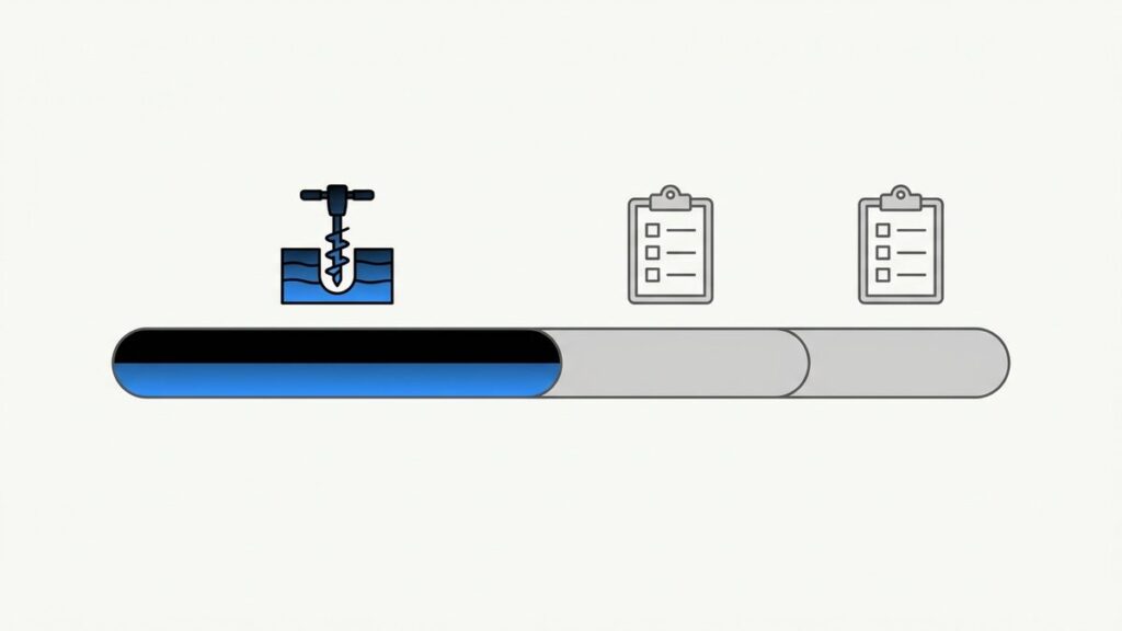
The Site Summary Report is a new attachment for every Site Assessment Form. Prepared by or under a qualified professional, it pulls the Stage 1 and Stage 2 investigations, the detailed investigation, remediation and risk assessment reports into one document, so the BCER can see where a site stands. The manual stresses that it is a summary only.
It covers:
- Site location, permit or project number, and land status
- Site history: dates drilled, completed, abandoned, and cut and capped, years in production, what was produced, stored or carried, and any documented spills
- Drilling and waste: mud types for each vertical and horizontal section, waste volumes, disposal location, the checklist used and whether intrusive sampling was needed
- Infrastructure: every piece the site ever held, whether all of it was removed before assessment, and any follow-up investigation
- The environmental and hydrogeologic setting
- APECs and potential contaminants, then the confirmed areas of environmental concern with their extent
- Remediation, confirmation sampling, backfill and any post-remedial groundwater work
- A QA/QC statement on the laboratory data relied on, and the professional’s stamp and signature
Why it is harder than it looks
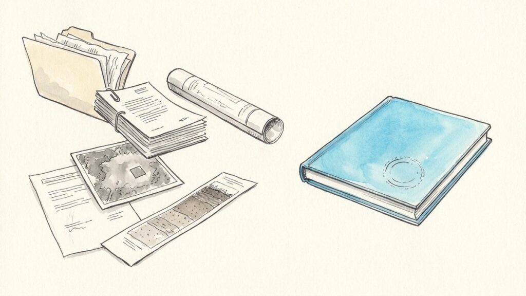
For an older site that has changed operators, that history sits in well files, old consultant reports and an acquisition data room. The manual is blunt about gaps: deficient screening carries into every later stage, a submission can be rejected if the BCER finds an aerial photo or EM anomaly nobody addressed, and an assessment that misses an APEC is incomplete and has to be resubmitted. Alongside the summary, the form needs the investigation reports, the BCER Site Classification Form, original aerial photographs, site visit photographs, the drilling waste checklist or sampling results, an APEC diagram, the site survey plan, and any disclosure or notification forms not already filed. The forms and checklists are on the BCER’s Remediation, Reclamation and Restoration page.
What Should Operators and Consultants Do Now?
Sort your sites by fieldwork date, since anything after June 30, 2026 is assessed against version 1.8. Update field forms and report templates, rebuild each site’s history for its Site Summary Report, and plan declarations around the DSR deadlines. Under the amended DSR, the 2027 annual work plan is due to the BCER by November 15, 2026.
Who carries what
The Fieldshare team writes for the operator first. The consultant has to follow the new rules, but the part of the job that grew is the operator’s responsibility to the regulator.
Task | Operator (permit holder) | Consultant (qualified professional) |
|---|---|---|
Annual work plan and annual report | Files the plan by November 15 and the report within 60 days of year end | Supplies site schedules and status |
Site Summary Report | Hands over well files, spill files, drilling records and site history | Prepares and stamps it |
Groundwater program | Funds and schedules monitoring that can run two years or more | Designs it, installs wells, samples and reports |
Declaration for the Completion of Reclamation | Files it once reclamation is complete | Provides the findings and reports behind it |
Restoration Assessment Form | Files it after the establishment period | A qualified reclamation specialist signs the report |
A checklist for the next six months
- Flag every site with fieldwork after June 30, 2026 and confirm the consultant’s scope follows version 1.8
- Update screening forms for the new EM survey triggers, full-site coverage and georeferenced maps
- Pull every spill file, current and historical, into each site’s closure record
- Write the groundwater exemption rationale, or the monitoring schedule, for each APEC
- Find the drilling waste notification forms or mud lists before a crew mobilizes
- Start the Site Summary Report inputs for sites going to assessment next
- Put November 15, each planned declaration and each vegetation assessment window on the calendar
Keeping one record per site
Everything above lands on the same site: screening, spills, groundwater events, drilling waste, declarations. When it is split across spreadsheets, shared drives and consultants’ inboxes, the Site Summary Report turns into an archaeology project. That is the real test for any system for oil and gas site reclamation tracking. Fieldshare’s BC clients have spent the months since June adjusting their custom field forms and reports to the new manual. Staff and contractors fill in forms on a phone or laptop with offline field data capture, each entry stays with its site alongside the photos and files behind it, and date filters show what was done and when. The BC Energy Regulator case study begins with a regulator “looking for a software to manage their wellsite life cycle.”
Rebuilding your closure records for version 1.8? See how Fieldshare works for oil and gas operators and environmental consultants, or book a demo.
Frequently Asked Questions
From the BCER’s Remediation, Reclamation and Restoration page under Operations Documentation. The PDF keeps its old file name, site-remediation-and-reclamation-manual.pdf, and the listing still shows the old title, but the document is version 1.8, June 2026.
In the BCER’s eSubmission portal. It went live with TU 2026-19 on September 15, 2026, which calls it the Reclamation Declaration Form, alongside the updated Restoration Assessment Form. The BCER’s eSubmission User Guide explains how to reach both.
The declaration, under section 9(1) of the DSR, reports that reclamation is complete so the site counts toward your restoration deadline. The Restoration Assessment Form, under section 9(3), comes later with a qualified professional’s report confirming the restoration worked, with vegetation assessed after at least two full growing seasons. It replaces Part 2 of the old Certificate of Restoration application.
No. Submissions made before June 30, 2026 are evaluated as they would have been before the update. Assessments where fieldwork was completed after June 30, 2026 are expected to follow version 1.8 in full, and Appendix G applies to any Stage 2 or detailed site investigation completed on or after that date.
A notice to the Ministry of Environment and Parks that you are cleaning up a contaminated site without direct Ministry involvement. The manual says to send it within three days of starting remediation and within 90 days of finishing, on the Protocol 17 form. For a reported spill, the spill report counts as the start notice, and the completion form is attached to the end of spill report.
The manual requires a site classification report whenever a notice of independent remediation or offsite migration is filed, or when the BCER asks, and the BCER Site Classification Form is on the attachment list for every Site Assessment Form. Under a 2025 agreement with the Ministry, a site flagged as potential high risk by the BCER’s Site Classification Tool no longer needs a Protocol 12 risk classification report, and the BCER has overseen those sites since February 21, 2025.