How Does Offline Field Data Capture Work at Remote Well Sites?
Ask Google how offline field data capture works and you get the same three steps every time: download what you need before you go, store new entries on the device while you have no signal, and upload everything when you reconnect. That is accurate. It is also the easy part.
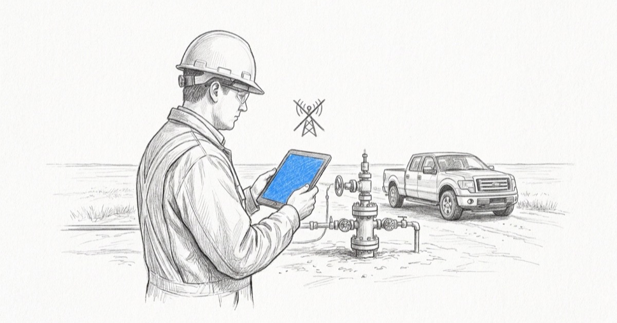
At a well site two hours from the nearest tower, the record does not get lost in storage. It gets lost before the trip, when nobody saved the site offline, or after it, when a photo is sitting on a camera roll and the inspection form is being re-typed from a wet notebook. This post covers how offline field data capture works on a Fieldshare project, where it actually breaks, and the limits worth asking any vendor about before you buy.
At a Glance
- Offline field data capture stores a site's project data, forms, photos and documents on the device, then sends them to the database when you sync. Every field app does some version of this
- Data is lost in two places, and neither is storage: a site that was never saved offline before the signal dropped, and two people saving the same site
- On a Fieldshare project you save a site offline before the trip, work it with no service, and sync it yourself once you have a stable connection. Up to 10 projects at a time, 100 MB per upload
- GPS works without cell service, but offline mode is not a route tracker. For paths and tracks, use a dedicated GPS unit and overlay the file on the map
- "Does it work offline" is table stakes. Ask a vendor what happens after sync: who changed what, when, and whether anything still gets re-typed
How Does Offline Field Data Capture Work?
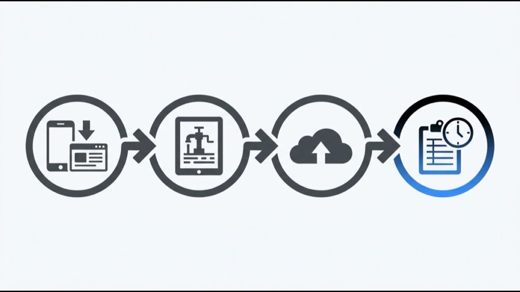
Offline field data capture means the app holds a copy of the site on the device. You save the site while you still have a connection, enter forms, photos and costs at the site with no signal, and push everything back to the database once you sync. Until then, the device is the notebook.
On a Fieldshare project the save happens on purpose, not in the background. You open the project, switch it to offline mode with the crossed cloud icon in the top right corner, and the app downloads that site to your phone or tablet. From that point the site lives on the device and stays there whether or not service comes back. Nothing moves to the database until you sync it from the Offline mode page.
Google’s summary ends at the upload. The rest of this post is about what happens on either side of it, because that is where well site data goes missing.
What Do Crews Actually Do at a Well Site With No Signal Today?
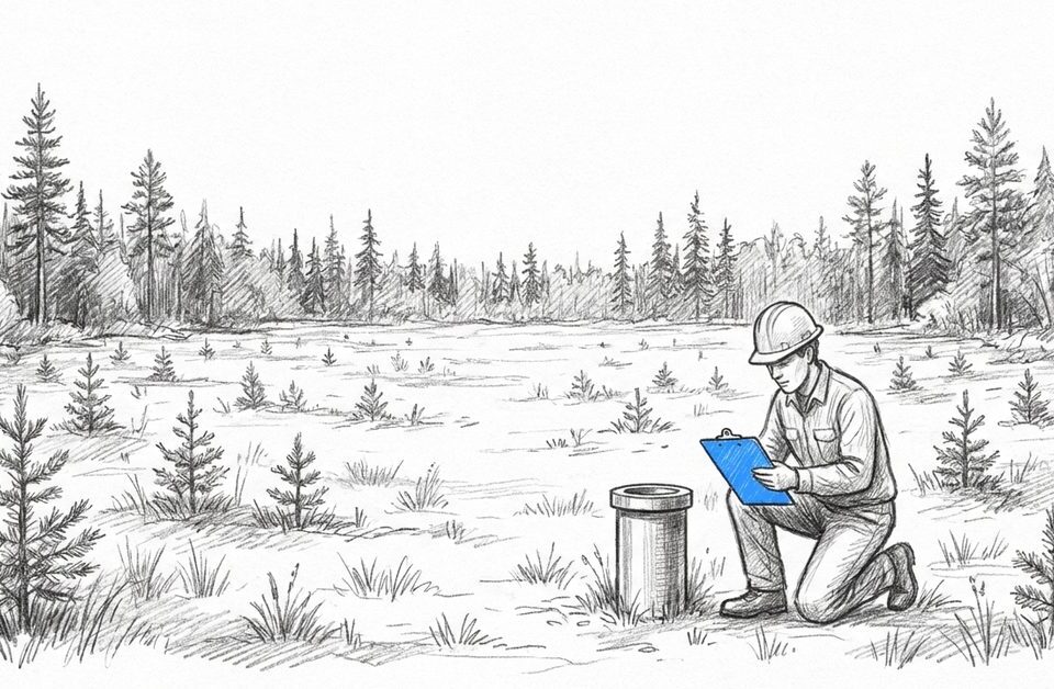
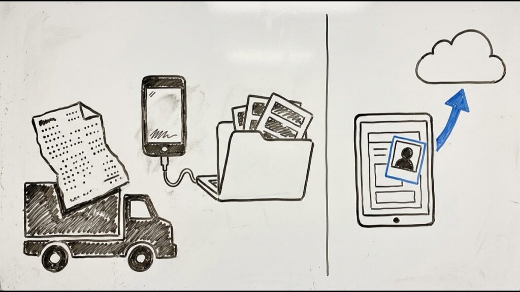
Without an offline app, a site visit runs on paper, an offline spreadsheet, or the notes app on a phone. None of those know which job, client, site address or date the note belongs to, so someone re-enters all of it later, along with the engineer’s name and credentials, before the observation is worth anything.
Here is the day as Siddhant Satoskar at Fieldshare describes it. The engineer writes the inspection on paper, in a spreadsheet saved to the laptop, or in the phone’s notes app. Paper gets rained on. The notes app is quicker on site, then becomes a second job back at the office: copy every line into the system, then add the site address, the date and the engineer’s details so the inspection ties to the right job and client. Paper gets scanned instead, which is not faster.
Photos are worse. They come off the phone by cable or through a cloud drive, into a folder with nothing connecting them to the site, the client or the visit date. Costs and budget changes noted on site wait for the same manual re-entry. The office sees none of it until the engineer is back. And the coverage gap is not closing soon: ISED’s national broadband coverage data shows how much of rural Alberta and BC is still outside service.
Where Does Offline Data Capture Break Down?
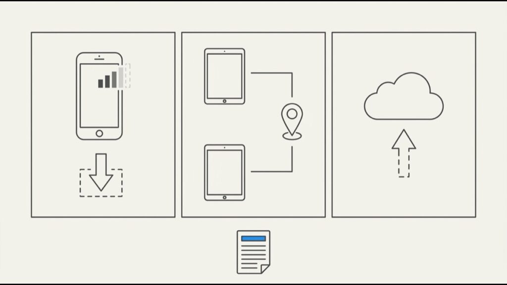
Offline capture fails at the hand-offs, not in storage. The site was never saved offline before the signal dropped. Two people saved the same site and one overwrote the other. Or the sync ran on a flaky connection and failed halfway. Each one has a habit that prevents it, and none of the habits are complicated.
You lost signal before saving the site offline
This is the question buyers ask Sid most: what if I am in service, forget to save the site offline, and the connection drops? The honest answer is that the work has nowhere to go and there is data loss. There is no recovering it after the fact. So the rule on Fieldshare projects is simple. Save the site offline according to the trip plan, before you leave the yard.
Two people saved the same site
Two engineers taking the same site offline can overwrite each other’s entries on sync. Fieldshare avoids it by convention: only the engineer conducting the visit takes their designated site offline. If it happens anyway, the project log records which user entered each observation and when, so the project manager sorts it out from the log instead of guessing which version was right.
The sync ran on a bad connection
A dropped connection mid-upload is the failure most apps hide behind “syncs automatically.” Fieldshare leaves the sync in your hands: the data stays on the device until you are confident in the connection, then you sync from the Offline mode page. Two limits to plan around: 100 MB per upload, and up to 10 projects offline at once, the 2024 update that added multi-project offline mode. Take the sites you need this trip, not the whole week “just to be safe.”
Stage | What the generic answer says | What to check at a well site |
|---|---|---|
Before you go | Download maps and data to the device | Was this specific site saved offline, on the device of the engineer doing the visit, and only that engineer? |
In the field | Capture text, photos and GPS locally | Are forms, photos, costs and documents all landing on the site record, or is anything still going to paper or a camera roll? |
Back in range | Sync automatically | Is the connection stable? On a Fieldshare project you sync when you decide, not when the phone does |
After sync | Nothing. The generic answer stops here | Who entered what and when, in the project log. Any file over 100 MB. Anything the office still has to re-type |
What Changes When the Site Is Saved Offline Before the Trip?
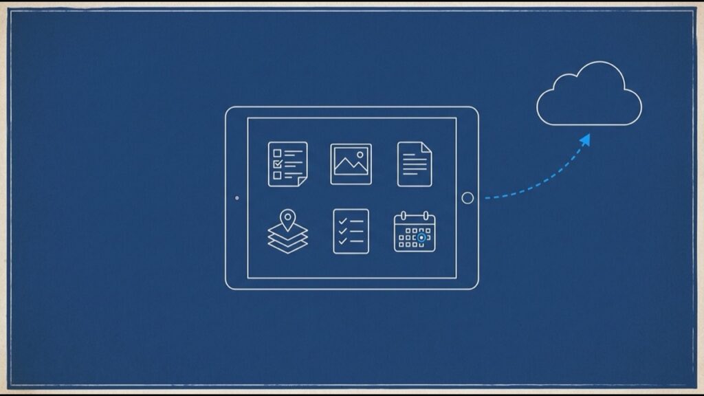
Saving a site offline puts the whole project on the device, not just a blank form: stages and activities, dates and milestones, tasks, photos, documents, GIS data, forms and reports. The engineer works from the same screens they use online, and the office receives one synced record instead of a pile of notes to reconcile.
A typical visit looks like this. The night before, the engineer opens the project, flips it to offline and lets it download. At the site there is no signal and it does not matter: the inspection is the same familiar form they use online, one of the digital field forms the office set up. Photos attach to it with the time, direction and coordinates recorded automatically. Costs, budget changes and the project summary can be edited right there against the project.
On the drive back, at the first place with a real connection, they open the Offline mode page and sync. The office sees the visit under the right job, client and date, with the engineer’s name on it. Nobody scans anything. Nobody plugs in a cable.
Does GPS Work Without Cell Service?
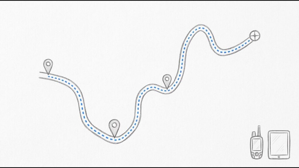
Yes. GPS positioning comes from satellites, not the cell network, so a phone or tablet records coordinates with no service, and photos taken in the app carry them. What offline mode does not do is track your route. For paths and tracks, use a dedicated GPS unit and bring the file back to the map.
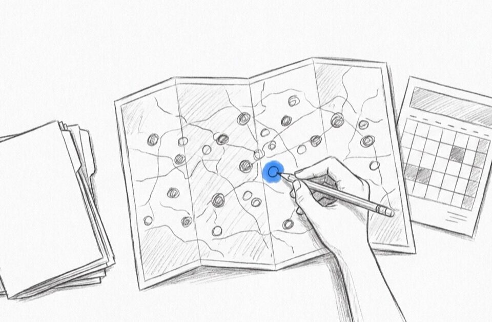
This is where Sid says buyers most often expect the wrong thing. They picture offline mode as a Google Maps style trail of where the truck went and where each reading was taken. It is not built for that, and Fieldshare does not promise accurate path or coordinate tracking in offline mode. Crews that need tracks still carry a Garmin or similar unit, then upload the KML, GPX or GeoTIFF file to the Fieldshare map, where it overlays the site data.
Photo coordinates are captured automatically and are fine for showing where a picture was taken; a survey-grade track is a different tool’s job. GPS itself needs no network, since the receiver only listens to satellites.
What Matters More Than "Works Offline" When Comparing Tools?
Every vendor will say yes to “does it work offline.” The useful questions are about control and the record: which sites go offline and how many, what happens when two people touch one site, who decides when to sync, what the upload limits are, and whether the office ever re-types anything.
Take these to the demo:
- Can the engineer choose which sites to take offline, and how many at once? On Fieldshare, up to 10.
- If two people save the same site, is there a log showing who entered what and when?
- Is sync manual, automatic, or both, and what happens to a record if the connection drops mid-upload?
- What is the per-upload file limit? Fieldshare: 100 MB, and no other limits.
- Can crews see project information offline, including documents, GIS layers and milestones, or only fill in forms?
- Do photos attach to the site record with time, direction and coordinates, or land in the camera roll?
- Does the vendor promise route tracking offline? Be suspicious if they do.
Sid’s answer to the last one is the honest version: offline mode is for capturing the visit reliably, not for replacing a GPS unit. A vendor who volunteers the limits has thought about the failure modes. The same test applies to the rest of your oil and gas data management software: the record that comes back from the field is only as good as the hand-offs around it.
Ready to see how offline field data capture looks on your own sites? Start with the Fieldshare mobile app page or book a demo, and bring the engineer who does the site visits. They will have better questions than this list. Offline capture is one part of our oil and gas asset management software, if you want the wider picture.
Frequently Asked Questions
The work you do after the signal drops has nowhere to go, so it is lost. Offline mode only protects a site that was taken offline while you still had a connection. On Fieldshare projects the rule is to save each site offline according to the trip plan, before leaving, not to rely on catching it in time.
Up to 10 projects at a time on the Fieldshare mobile app. Sid’s advice is to take only the sites you need for this trip. Saving a whole week of projects “just to be safe” is the wrong habit; it fills the device and adds sites nobody is responsible for.
One: 100 MB per upload. Sid reports no other limits on offline capture. If a video or document set is larger than that, split it or upload it from the office.
The later sync can overwrite the earlier one, which is why only the engineer conducting the visit takes that site offline. If it happens anyway, the project log shows the user and timestamp for every entry and observation, so the project manager can see exactly who recorded what and restore the right version.
No. Offline mode does not guarantee accurate GPS path or coordinate tracking, and it is not designed to work like a maps app trail. Use a Garmin or similar GPS unit and upload the KML, GPX or GeoTIFF file to the Fieldshare map to overlay the track on the site data. Photo coordinates are still captured automatically.